Guadeloupe
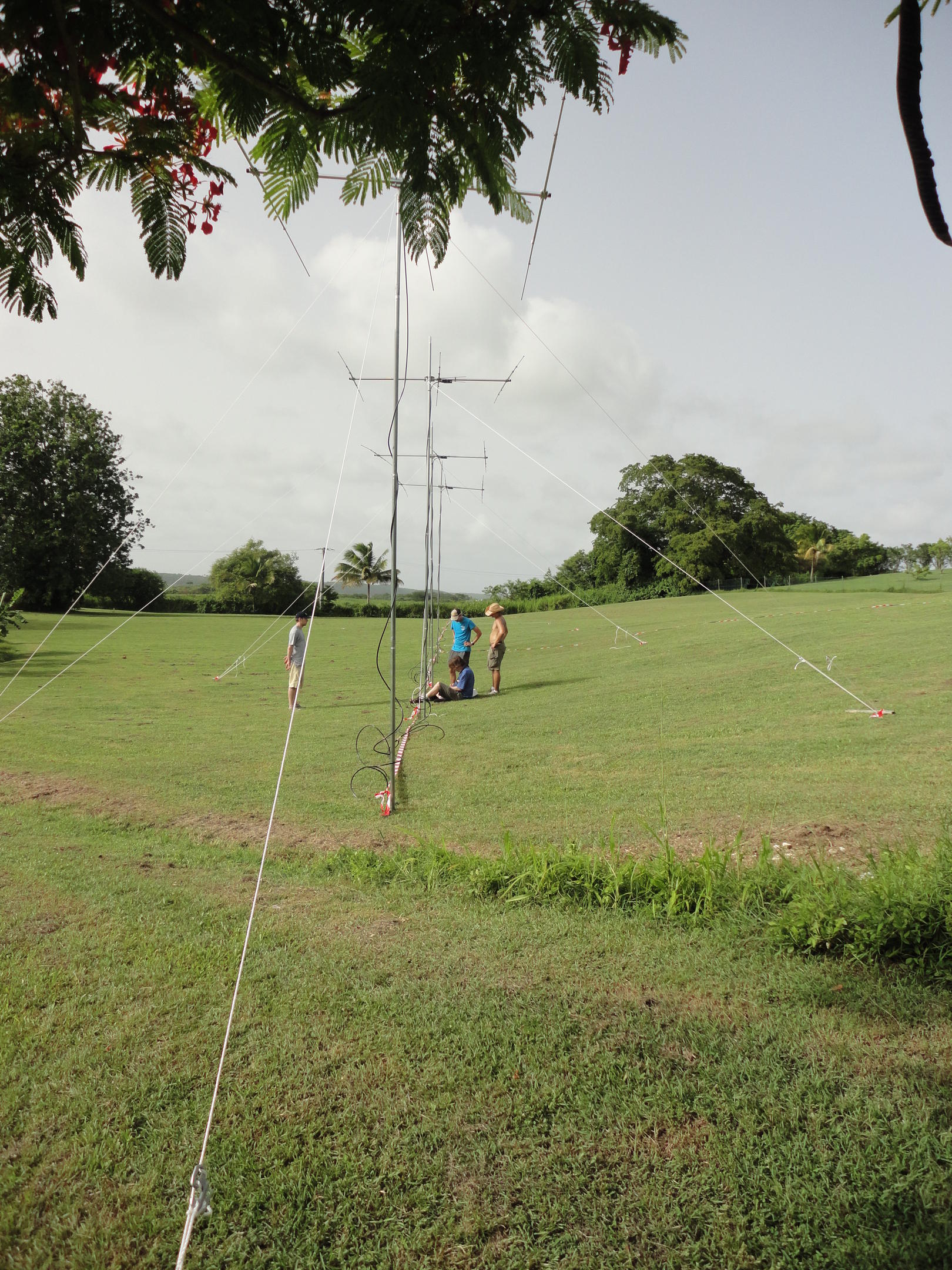
T he Imaging Radar Interferometer on Guadeloupe is located on an agricultural research site operated by INRA of France. The radar has the feature of looking perpendicular to B at F-region altitudes over the field of view of Arecibo.
The radar is used to observe F region field-aligned plasma density irregularities associated with medium-scale traveling ionospheric disturbances in the ionosphere. Irregularities are also produced during geomagnetically active periods under spread F conditions. Aperture synthesis radar imaging allows us to observe the structuring and to compare it with observations made with the Arecibo incoherent scatter radar, resonace lidar , and Boston University imager .
The radar was deployed as part of a joint project involving Clemson University, Cornell University, and the University of the Virgin Islands. The first experimental results from summer campaigns in 2013 appear below.
| UT Date | CSR RTI | images | images | images | ISR linefeed | ISR gregorian |
|---|---|---|---|---|---|---|
| Jun. 17 2008 | s080617.pdf | s080617.mpg | ||||
| Jul. 4 2008 | s080704.pdf | s080704.mpg | ||||
| Jul. 28 2008 | s080728.pdf | s080728.mpg | s080728.mpg | |||
| Sep. 26 2008 | s080926.pdf | s080926.mpg | l080926.pdf | g080926.pdf | ||
| Sep. 27 2008 | s080927.pdf | s080927.mpg | l080927.pdf | g080927.pdf | ||
| Sep. 28 2008 | s080928.pdf | s080928.mpg | l080928.pdf | g080928.pdf | ||
| Sep. 29 2008 | s080929.pdf | s080929.mpg | s080929-2.mpg | l080929.pdf | g080929.pdf | |
| Sep. 30 2008 | s080930.pdf | s080930.mpg | l080930.pdf | g080930.pdf | ||
| Oct. 1 2008 | s081001.pdf | s081001.mpg | s081001-2.mpg | l081001.pdf |
Gallery
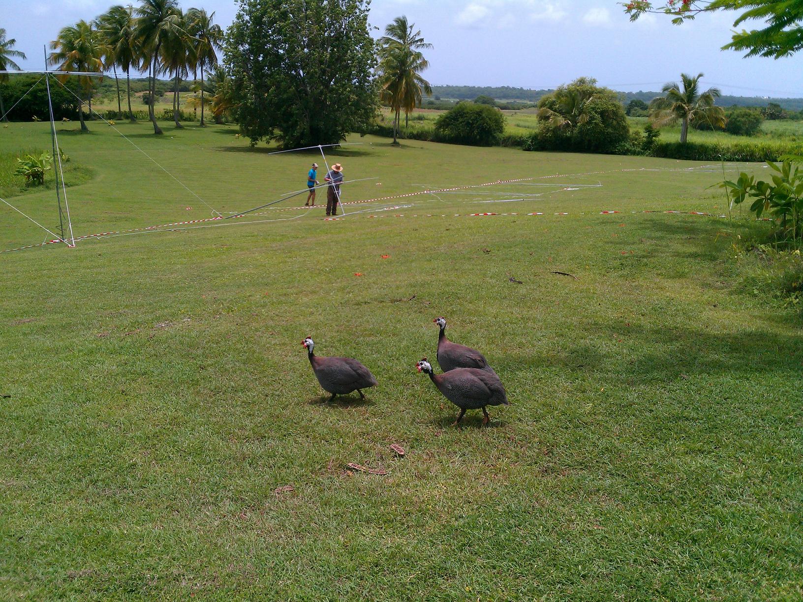
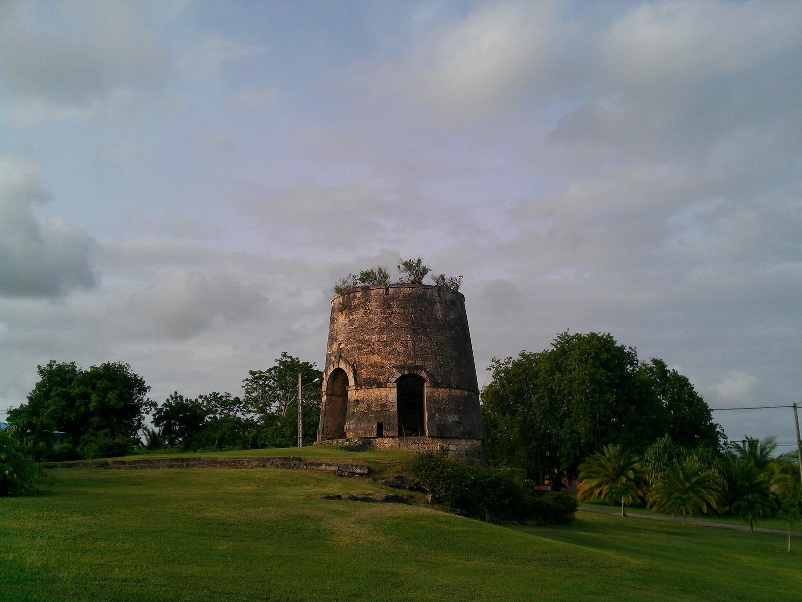
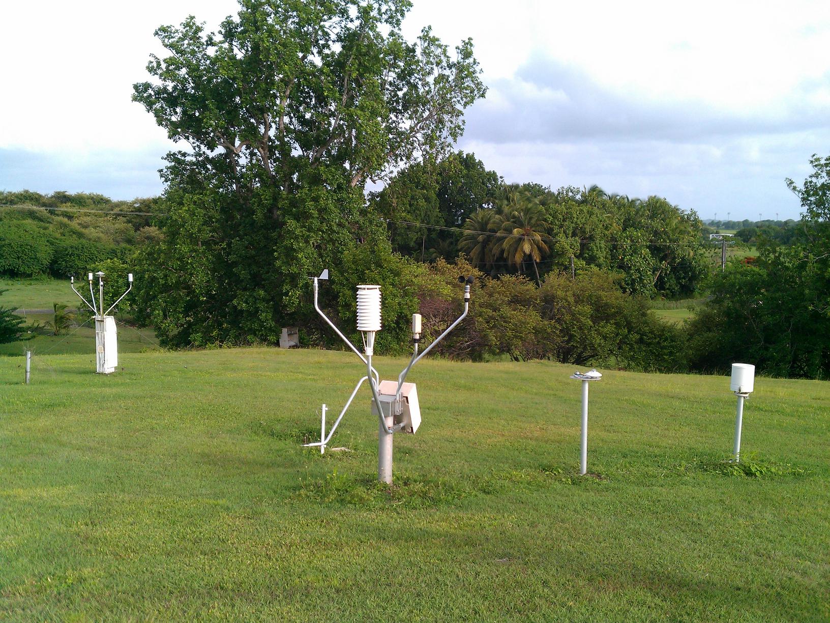
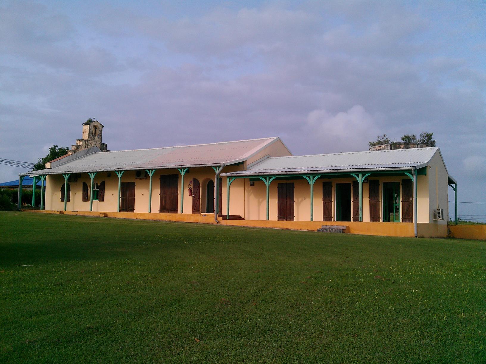
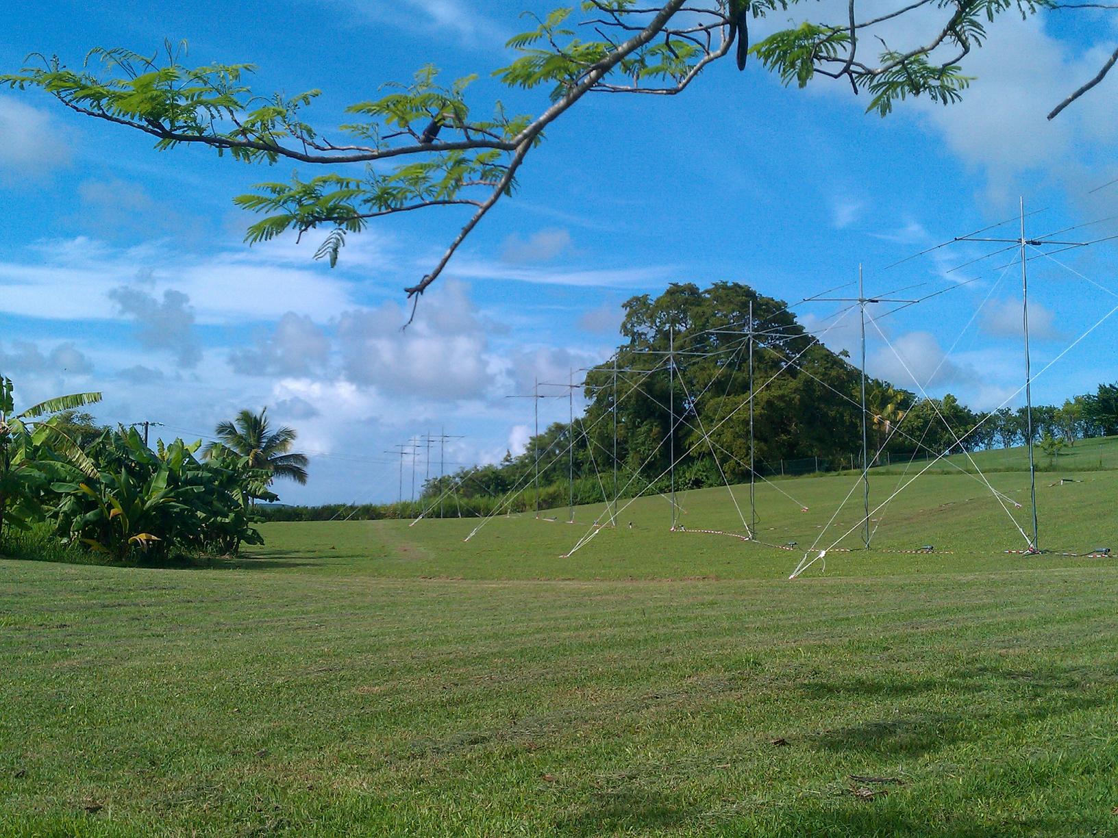
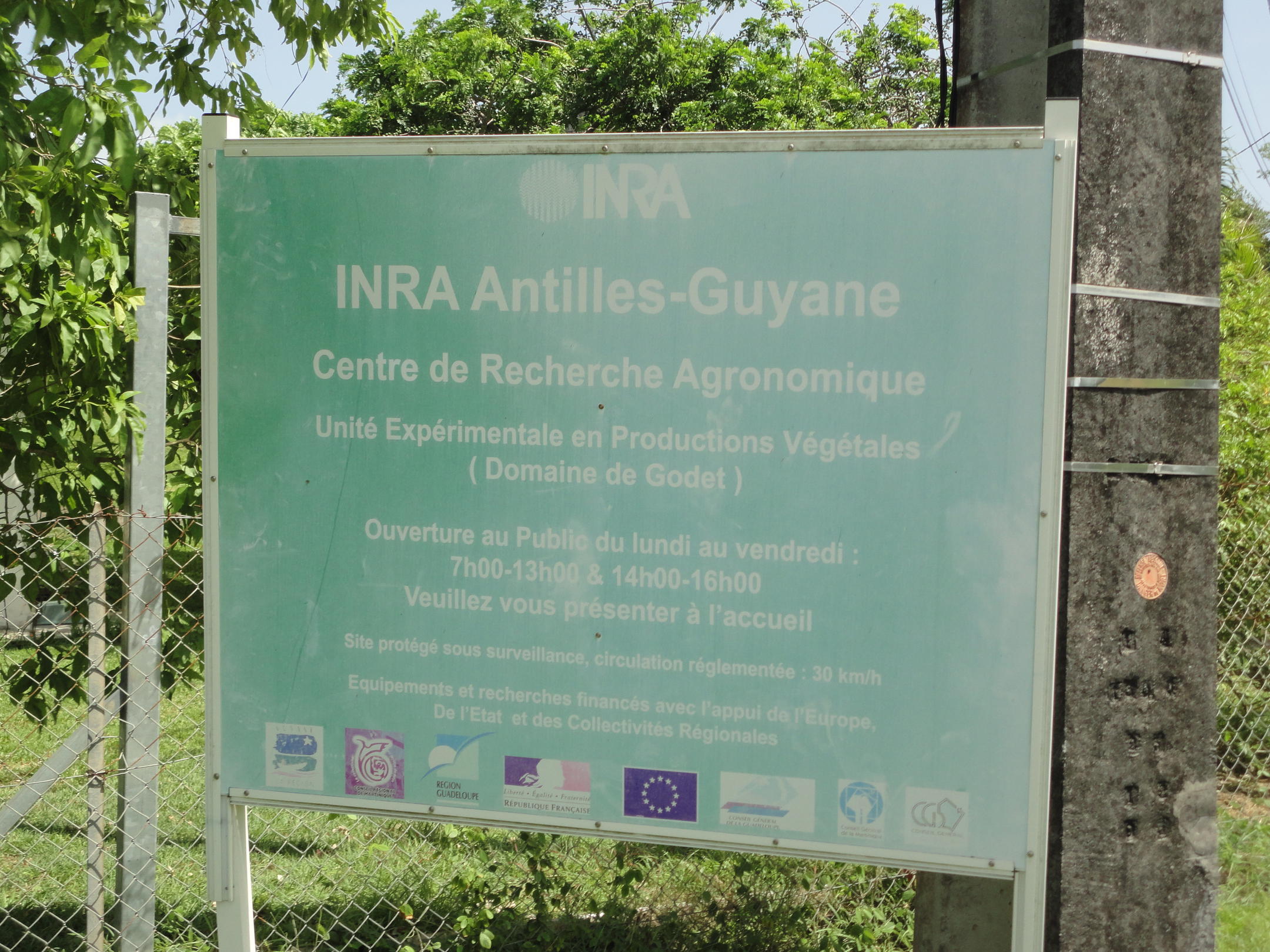
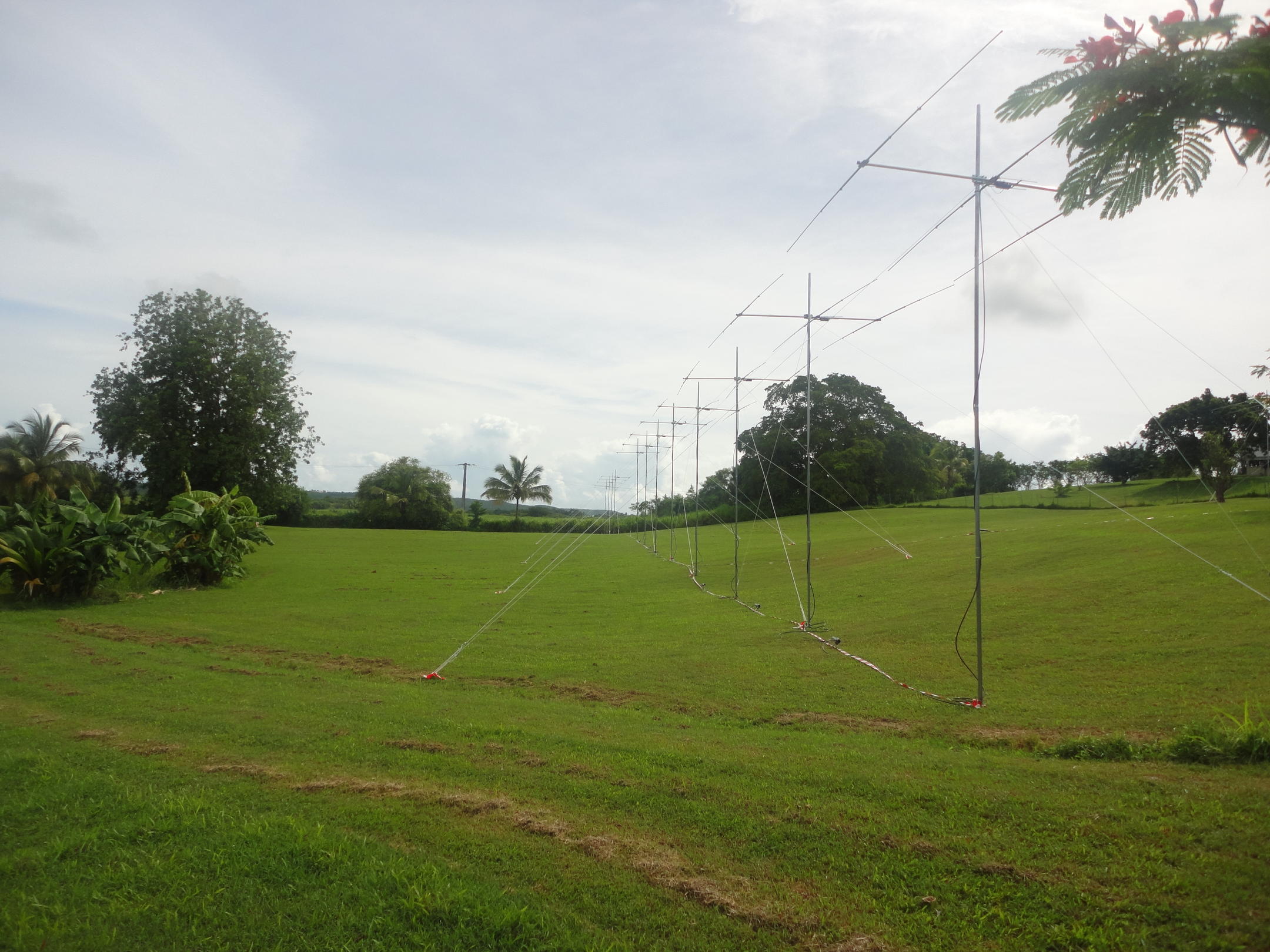
These are some of the sights of the radar and the island, as photographed by the team from Clemson and Cornell.